Pitagone barriers help protect citizens against vehicle-ramming attacks.
Pitagone is the leader in mobile anti-terrorism solutions...
PITAGONE is the world leader in mobile anti-terrorism solutions. Our main customers are the police, armed forces, and federal agencies, but PITAGONE also provides tailor-made solutions to airports, ports, public transport, and large private companies. PITAGONE is present all over the world and supports its customers on a daily basis from its headquarters in Brussels in more than thirty-five countries on five continents.
Pitagone solutions
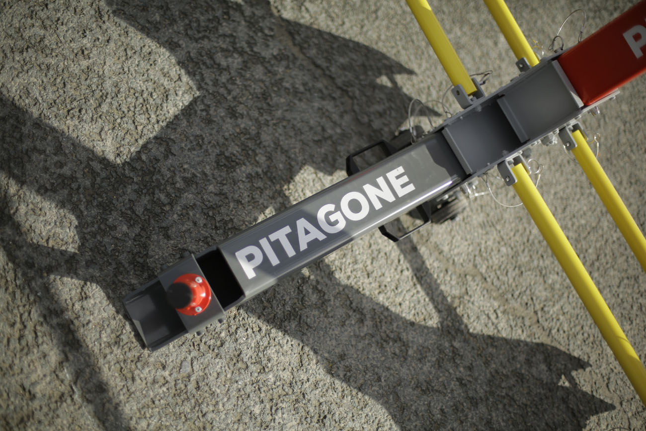
Pitagone's anti-ram barriers are designed, developed, and manufactured in Belgium.
We offer a wide range of products designed to ensure the safety of your event. Our products are designed and tested to offer the highest level of safety. All our barriers come with a number of accessories that you can purchase separately. We strive to provide the best security solutions for your event, so you can be sure that it will run safely.


- 7world firsts
- 5continents
- 35countries covered


Our references
In Belgium
Discover Pitagone
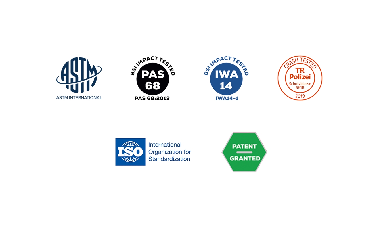
Pitagone was founded in 2016 and is located in Brussels – Anderlecht – Our HQ. Our new team is made up of experts with years of experience in security and a wealth of expertise. Pitagone holds two international patents for its products and several certificates.
PITAGONE's experts are among the best in the field of terrorism risk management.
Our international experience and expertise enable us to assist organisations in all aspects of an effective risk management programme for their business. Each client's needs are specific. Together, we will find the right solution to achieve your objectives and maximise your return on investment against risk.
Solutions designed for your safety.
Our certifications are there to guarantee your security. They attest to our compliance with the strictest standards in terms of data security and confidentiality and demonstrate our commitment to protecting the data and privacy of our clients, partners, and stakeholders.
In addition, our certification gives stakeholders the assurance that we are taking the necessary measures to guarantee security.
Our partners